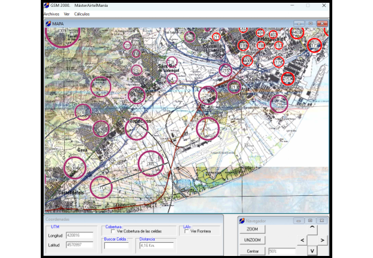
Details of the GSM project
At that time, I was working in IT on a project to develop management applications using Delphi.
When I saw that the company was taking advantage of me, I decided to get a Master's in Mobile Communications. This was a popular field at that time, and it didn't hurt that it was also something that I was interested in.
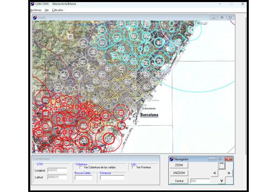
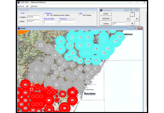
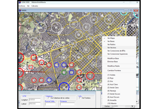
Balancing work and studying for a Master's degree is a significant challenge, especially with the added responsibility of completing a final project. I was responsible for programming a tool designed to help streamline this process for my colleagues.
With the experience gained in Delphi at ITS, a Delphi-4 book that I purchased, and a solid foundation in high school mathematics, I could program this application that was, at the very least, visually apparent.
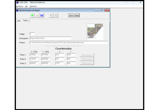
We divided the tasks among ourselves: one colleague scanned a map of Barcelona in UTM coordinates and saved it as several JPEG images; another provided instructions on using Excel to present the results; and I programmed the help tool. This collaborative approach allowed us to delegate the objectives of the internship effectively.
A team effort
Watch video